
Ostdorf topographic map
Interactive map
Click on the map to display elevation.
About this map
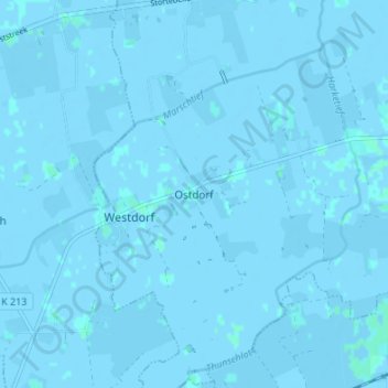
Name: Ostdorf topographic map, elevation, terrain.
Location: Ostdorf, Dornum, Landkreis Aurich, Niedersachsen, Deutschland (53.62664 7.31149 53.66664 7.35149)
Average elevation: -1 m
Minimum elevation: -3 m
Maximum elevation: 2 m