
Thank you for supporting this site ❤️
Make a donation
Make a donation
Ulysses Township topographic map
Click on the map to display elevation.
Thank you for supporting this site ❤️
Make a donation
Make a donation
About this map
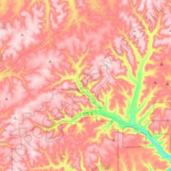
Name: Ulysses Township topographic map, elevation, terrain.
Location: Ulysses Township, Potter County, Pennsylvania, United States (41.72692 -77.84536 41.91322 -77.72391)
Average elevation: 676 m
Minimum elevation: 412 m
Maximum elevation: 795 m
Thank you for supporting this site ❤️
Make a donation
Make a donation
Other topographic maps
Click on a map to view its topography, its elevation and its terrain.