
Кутнево topographic map
Interactive map
Click on the map to display elevation.
About this map
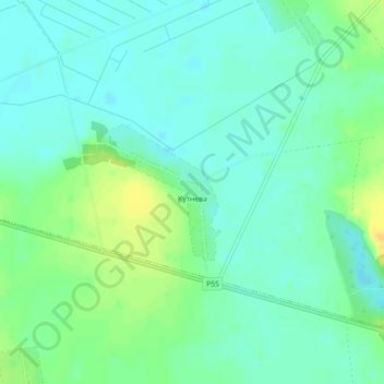
Name: Кутнево topographic map, elevation, terrain.
Average elevation: 155 m
Minimum elevation: 146 m
Maximum elevation: 171 m
Other topographic maps
Click on a map to view its topography, its elevation and its terrain.
Томилова Гора
Беларусь > Минская область > Солигорский район > Чижевичский сельский Совет
Томилова Гора, Чижевичский сельский Совет, Солигорский район, Минская область, Беларусь
Average elevation: 161 m