
Thank you for supporting this site ❤️
Make a donation
Make a donation
Cope topographic map
Click on the map to display elevation.
Thank you for supporting this site ❤️
Make a donation
Make a donation
About this map
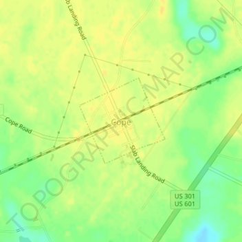
Name: Cope topographic map, elevation, terrain.
Location: Cope, Orangeburg County, South Carolina, United States (33.37326 -81.01262 33.38283 -81.00116)
Average elevation: 58 m
Minimum elevation: 42 m
Maximum elevation: 65 m
Thank you for supporting this site ❤️
Make a donation
Make a donation
Other topographic maps
Click on a map to view its topography, its elevation and its terrain.