
Thank you for supporting this site ❤️
Make a donation
Make a donation
Les Forges topographic map
Click on the map to display elevation.
Thank you for supporting this site ❤️
Make a donation
Make a donation
About this map
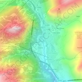
Name: Les Forges topographic map, elevation, terrain.
Location: Les Forges, Courmayeur, Aosta Valley, 11013, Italy (45.77329 6.94544 45.81329 6.98544)
Average elevation: 1,565 m
Minimum elevation: 1,059 m
Maximum elevation: 2,320 m
Thank you for supporting this site ❤️
Make a donation
Make a donation
Other topographic maps
Click on a map to view its topography, its elevation and its terrain.