
Tamesna topographic map
Interactive map
Click on the map to display elevation.
About this map
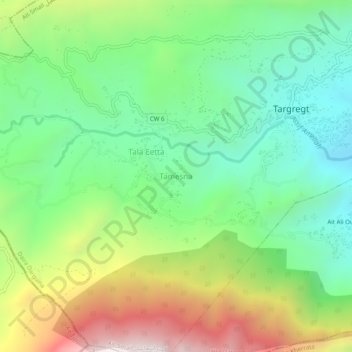
Name: Tamesna topographic map, elevation, terrain.
Location: Tamesna, Ait Smaïl, Daïra Darguina, Béjaïa, 06080, Algérie (36.51895 5.19321 36.55895 5.23321)
Average elevation: 991 m
Minimum elevation: 514 m
Maximum elevation: 1,844 m
Other topographic maps
Click on a map to view its topography, its elevation and its terrain.
Laanser
Algérie > Béjaïa > Daïra Darguina > Ait Smaïl > Aït Aïssiout
Laanser, CW 6, Aït Aïssiout, Ait Smaïl, Daïra Darguina, Béjaïa, 06080, Algérie
Average elevation: 564 m