
Amherst topographic map
Interactive map
Click on the map to display elevation.
About this map
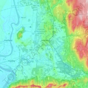
Name: Amherst topographic map, elevation, terrain.
Location: Amherst, Hampshire County, Massachusetts, United States (42.30146 -72.54678 42.43382 -72.46419)
Average elevation: 120 m
Minimum elevation: 28 m
Maximum elevation: 382 m