
Mechtat el Gasria topographic map
Interactive map
Click on the map to display elevation.
About this map
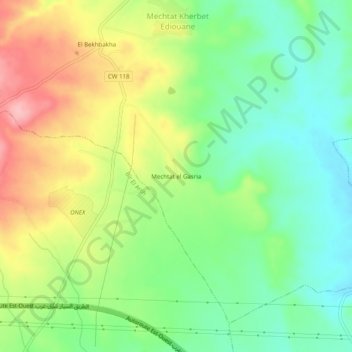
Name: Mechtat el Gasria topographic map, elevation, terrain.
Location: Mechtat el Gasria, Belaa, Daïra Bir El Arch, Sétif, Algérie (36.14163 5.84878 36.18163 5.88878)
Average elevation: 963 m
Minimum elevation: 907 m
Maximum elevation: 1,044 m