
Rice Lake topographic map
Interactive map
Click on the map to display elevation.
About this map
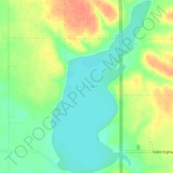
Name: Rice Lake topographic map, elevation, terrain.
Location: Rice Lake, Emmons County, North Dakota, United States (46.02365 -100.09287 46.06807 -100.05553)
Average elevation: 558 m
Minimum elevation: 541 m
Maximum elevation: 585 m
Other topographic maps
Click on a map to view its topography, its elevation and its terrain.
Kintyre
United States > North Dakota > Emmons County
Kintyre, Campbell Township, Emmons County, North Dakota, United States
Average elevation: 584 m