
Thank you for supporting this site ❤️
Make a donation
Make a donation
Chingmai Khullen topographic map
Click on the map to display elevation.
Thank you for supporting this site ❤️
Make a donation
Make a donation
About this map
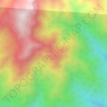
Name: Chingmai Khullen topographic map, elevation, terrain.
Location: Chingmai Khullen, Paomata, Senapati, Manipur, India (25.44870 94.35162 25.48870 94.39162)
Average elevation: 1,454 m
Minimum elevation: 921 m
Maximum elevation: 1,999 m
Thank you for supporting this site ❤️
Make a donation
Make a donation