
Maple Springs topographic map
Interactive map
Click on the map to display elevation.
About this map
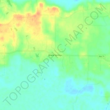
Name: Maple Springs topographic map, elevation, terrain.
Location: Maple Springs, Titus County, Texas, United States (33.33567 -95.02549 33.37567 -94.98549)
Average elevation: 100 m
Minimum elevation: 86 m
Maximum elevation: 121 m