
Thank you for supporting this site ❤️
Make a donation
Make a donation
Iyara topographic map
Click on the map to display elevation.
Thank you for supporting this site ❤️
Make a donation
Make a donation
About this map
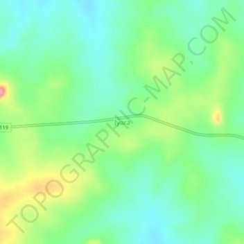
Name: Iyara topographic map, elevation, terrain.
Location: Iyara, Ijumu, Kogi State, Nigeria (7.82299 5.95398 7.86299 5.99398)
Average elevation: 463 m
Minimum elevation: 426 m
Maximum elevation: 541 m
Thank you for supporting this site ❤️
Make a donation
Make a donation