
Río Machangara topographic map
Interactive map
Click on the map to display elevation.
About this map
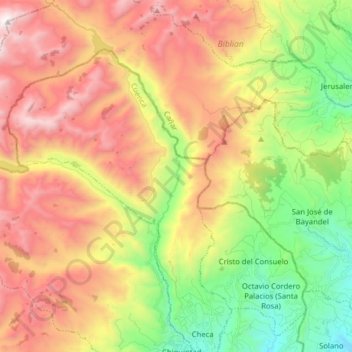
Name: Río Machangara topographic map, elevation, terrain.
Location: Río Machangara, Cuenca, Biblian, Azuay, Ecuador (-2.81302 -79.06341 -2.65553 -78.99618)
Average elevation: 3,356 m
Minimum elevation: 2,539 m
Maximum elevation: 4,276 m