
吉隆镇 topographic map
Interactive map
Click on the map to display elevation.
About this map
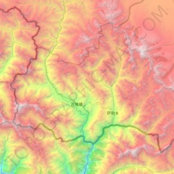
Name: 吉隆镇 topographic map, elevation, terrain.
Location: 吉隆镇, 吉隆县, 日喀则市, 西藏自治区, 中国 (28.25616 85.10010 28.64263 85.68687)
Average elevation: 4,575 m
Minimum elevation: 1,584 m
Maximum elevation: 7,385 m
Other topographic maps
Click on a map to view its topography, its elevation and its terrain.