
福纪 topographic map
Interactive map
Click on the map to display elevation.
About this map
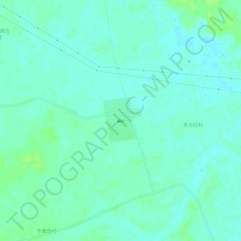
Name: 福纪 topographic map, elevation, terrain.
Location: 福纪, 开鲁县, 通辽市, 内蒙古自治区, 中国 (43.67490 121.50965 43.71490 121.54965)
Average elevation: 223 m
Minimum elevation: 219 m
Maximum elevation: 229 m
Other topographic maps
Click on a map to view its topography, its elevation and its terrain.