
Lac de Guiers topographic map
Interactive map
Click on the map to display elevation.
About this map
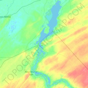
Name: Lac de Guiers topographic map, elevation, terrain.
Location: Lac de Guiers, Nguith, Ndiaye, Dagana, Saint-Louis, Sénégal (15.83508 -15.97199 16.38176 -15.77046)
Average elevation: 14 m
Minimum elevation: -1 m
Maximum elevation: 44 m