
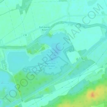
Niegripper See topographic map
Interactive map
Click on the map to display elevation.
About this map
Name: Niegripper See topographic map, elevation, terrain.
Average elevation: 43 m
Minimum elevation: 35 m
Maximum elevation: 67 m
Other topographic maps
Click on a map to view its topography, its elevation and its terrain.
Niegripp
Deutschland > Sachsen-Anhalt > Jerichower Land > Burg
Niegripp, Burg, Jerichower Land, Sachsen-Anhalt, Deutschland
Average elevation: 43 m