
Rathmullan topographic map
Click on the map to display elevation.
About this map
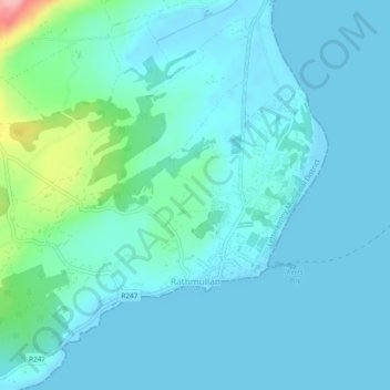
Name: Rathmullan topographic map, elevation, terrain.
Location: Rathmullan, County Donegal, F92 DH90, Ireland (55.09199 -7.55614 55.10780 -7.52644)
Average elevation: 19 m
Minimum elevation: -1 m
Maximum elevation: 137 m
Other topographic maps
Click on a map to view its topography, its elevation and its terrain.