
La Daclea topographic map
Interactive map
Click on the map to display elevation.
About this map
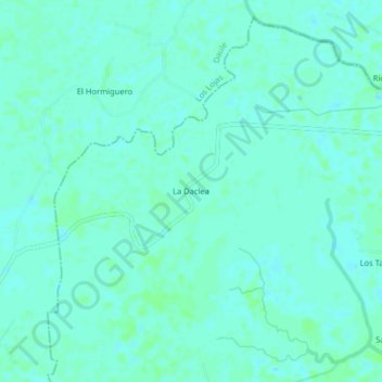
Name: La Daclea topographic map, elevation, terrain.
Location: La Daclea, Tarifa, Samborondón, Guayas, Ecuador (-2.01729 -79.85401 -1.97729 -79.81401)
Average elevation: 4 m
Minimum elevation: 1 m
Maximum elevation: 8 m
Other topographic maps
Click on a map to view its topography, its elevation and its terrain.
Río Sabanilla
Ecuador > Guayas > Samborondón > Tarifa
Río Sabanilla, Tarifa, Samborondón, Guayas, 120201, Ecuador
Average elevation: 5 m
Margarita
Ecuador > Guayas > Samborondón > Tarifa
Margarita, Tarifa, Samborondón, Guayas, 120201, Ecuador
Average elevation: 4 m