
Tella topographic map
Interactive map
Click on the map to display elevation.
About this map
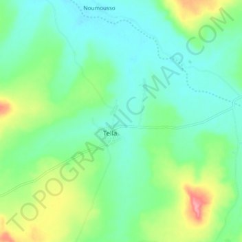
Name: Tella topographic map, elevation, terrain.
Location: Tella, Cercle de Sikasso, Sikasso, Mali (11.74722 -6.28778 11.82722 -6.20778)
Average elevation: 337 m
Minimum elevation: 310 m
Maximum elevation: 405 m