
Thank you for supporting this site ❤️
Make a donation
Make a donation
Abrigada topographic map
Click on the map to display elevation.
Thank you for supporting this site ❤️
Make a donation
Make a donation
About this map
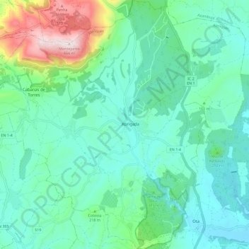
Name: Abrigada topographic map, elevation, terrain.
Location: Abrigada, Alenquer, Lisboa, Portugal (39.10093 -9.06477 39.18871 -8.98640)
Average elevation: 153 m
Minimum elevation: 14 m
Maximum elevation: 666 m
Thank you for supporting this site ❤️
Make a donation
Make a donation
Other topographic maps
Click on a map to view its topography, its elevation and its terrain.