
Labasa topographic map
Interactive map
Click on the map to display elevation.
About this map
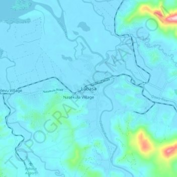
Name: Labasa topographic map, elevation, terrain.
Location: Labasa, Northern, Fiji (-16.47328 179.32649 -16.39328 179.40649)
Average elevation: 30 m
Minimum elevation: -1 m
Maximum elevation: 390 m