
Taman Sri Terachi topographic map
Interactive map
Click on the map to display elevation.
About this map
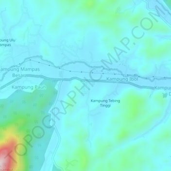
Name: Taman Sri Terachi topographic map, elevation, terrain.
Location: Taman Sri Terachi, Negeri Sembilan, 71500, Malaysia (2.72289 102.13519 2.76289 102.17519)
Average elevation: 148 m
Minimum elevation: 94 m
Maximum elevation: 520 m