
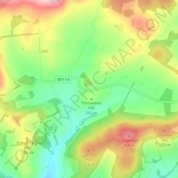
Tornaveen topographic map
Interactive map
Click on the map to display elevation.
About this map
Name: Tornaveen topographic map, elevation, terrain.
Location: Tornaveen, Aberdeenshire, Scotland, AB31 4PA, United Kingdom (57.12304 -2.65202 57.16304 -2.61202)
Average elevation: 247 m
Minimum elevation: 156 m
Maximum elevation: 377 m