
Keureusek topographic map
Interactive map
Click on the map to display elevation.
About this map
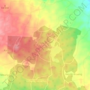
Name: Keureusek topographic map, elevation, terrain.
Location: Keureusek, Nisam Antara, Aceh Utara, Aceh, Indonesia (5.04451 96.95123 5.08451 96.99123)
Average elevation: 346 m
Minimum elevation: 280 m
Maximum elevation: 384 m