
汉源街道 topographic map
Interactive map
Click on the map to display elevation.
About this map
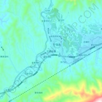
Name: 汉源街道 topographic map, elevation, terrain.
Location: 汉源街道, 宁强县, 汉中市, 陕西省, 中国 (32.78595 106.20947 32.86595 106.28947)
Average elevation: 890 m
Minimum elevation: 771 m
Maximum elevation: 1,592 m
Other topographic maps
Click on a map to view its topography, its elevation and its terrain.