
Thank you for supporting this site ❤️
Make a donation
Make a donation
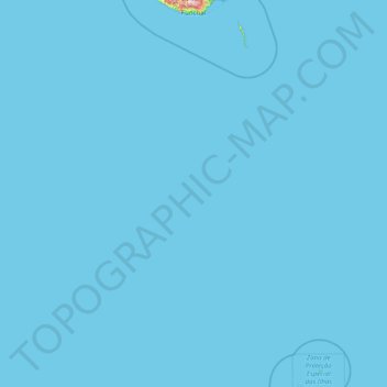
Funchal topographic map
Click on the map to display elevation.
Thank you for supporting this site ❤️
Make a donation
Make a donation
Funchal
Since the city rises from the sea level up to altitudes of 800 metres (2,600 ft) on its northern slopes, it is quite common to experience cloudiness, fog and rain in the northern suburbs while, at the same time, having clear skies in the south. Temperatures also tend to be slightly lower at the higher altitudes.
Thank you for supporting this site ❤️
Make a donation
Make a donation
About this map
Name: Funchal topographic map, elevation, terrain.
Location: Funchal, Madeira, Portugal (30.02878 -16.96968 32.73565 -15.85367)
Average elevation: 2 m
Minimum elevation: 0 m
Maximum elevation: 1,676 m
Thank you for supporting this site ❤️
Make a donation
Make a donation
Other topographic maps
Click on a map to view its topography, its elevation and its terrain.