
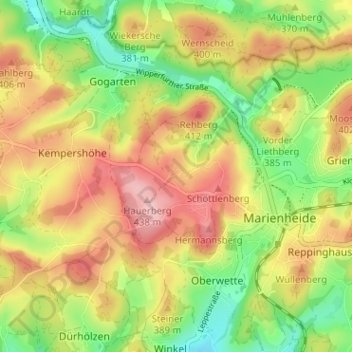
Vorderscharde topographic map
Interactive map
Click on the map to display elevation.
About this map
Name: Vorderscharde topographic map, elevation, terrain.
Average elevation: 365 m
Minimum elevation: 291 m
Maximum elevation: 440 m
Vorderscharde liegt im Nordwesten von Marienheide. Nachbarorte sind Sattlershöhe, Hinterscharde und Marienheide.