
Hallburg topographic map
Interactive map
Click on the map to display elevation.
Hallburg
Die Burg Hallburg, auch Schloss Hallburg genannt, ist eine Höhenburg auf dem 230 m ü. NN hohen Hallburger Schlossberg über der Volkacher Mainschleife auf der Flur des Volkacher Ortsteils Hallburg im unterfränkischen Landkreis Kitzingen in Bayern.
About this map
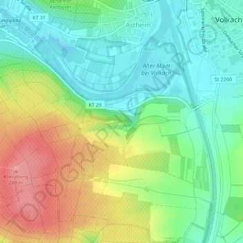
Name: Hallburg topographic map, elevation, terrain.
Average elevation: 227 m
Minimum elevation: 189 m
Maximum elevation: 288 m