
Chekantsi topographic map
Interactive map
Click on the map to display elevation.
About this map
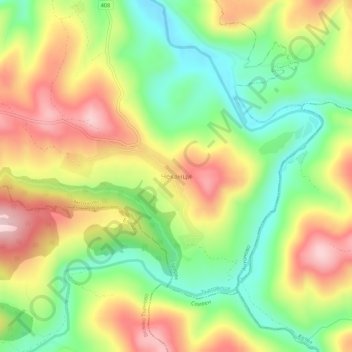
Name: Chekantsi topographic map, elevation, terrain.
Location: Chekantsi, Stevrek, Antonovo, Targovishte, Bulgaria (42.94472 26.14890 42.98472 26.18890)
Average elevation: 447 m
Minimum elevation: 316 m
Maximum elevation: 598 m
Other topographic maps
Click on a map to view its topography, its elevation and its terrain.