
曲江街道 topographic map
Interactive map
Click on the map to display elevation.
About this map
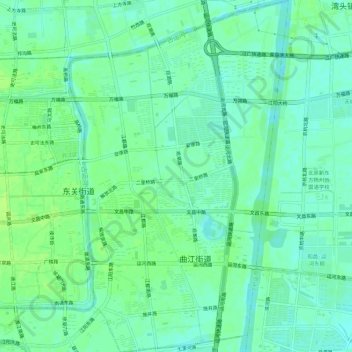
Name: 曲江街道 topographic map, elevation, terrain.
Location: 曲江街道, 广陵区, 扬州市, 江苏省, 225000, 中国 (32.37857 119.44518 32.42609 119.48031)
Average elevation: 10 m
Minimum elevation: 4 m
Maximum elevation: 15 m
Other topographic maps
Click on a map to view its topography, its elevation and its terrain.