
Twin Lakes topographic map
Interactive map
Click on the map to display elevation.
About this map
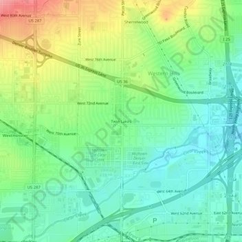
Name: Twin Lakes topographic map, elevation, terrain.
Average elevation: 1,602 m
Minimum elevation: 1,565 m
Maximum elevation: 1,673 m
Other topographic maps
Click on a map to view its topography, its elevation and its terrain.
Sherrelwood
United States > Colorado > Adams County > Western Hills
Sherrelwood, Western Hills, Adams County, Colorado, 80260, United States
Average elevation: 1,621 m