
Thank you for supporting this site ❤️
Make a donation
Make a donation
Lodi topographic map
Click on the map to display elevation.
Thank you for supporting this site ❤️
Make a donation
Make a donation
About this map
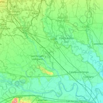
Name: Lodi topographic map, elevation, terrain.
Location: Lodi, Lombardy, Italy (45.05261 9.30999 45.47002 9.90097)
Average elevation: 75 m
Minimum elevation: 39 m
Maximum elevation: 281 m
Thank you for supporting this site ❤️
Make a donation
Make a donation
Other topographic maps
Click on a map to view its topography, its elevation and its terrain.