
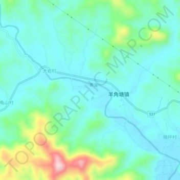
善渓 topographic map
Interactive map
Click on the map to display elevation.
About this map
Name: 善渓 topographic map, elevation, terrain.
Location: 善渓, 安化县, 益阳市, 湖南省, 中国 (28.51900 111.58312 28.55039 111.62728)
Average elevation: 150 m
Minimum elevation: 84 m
Maximum elevation: 381 m