
乌鲁木齐县 topographic map
Interactive map
Click on the map to display elevation.
About this map
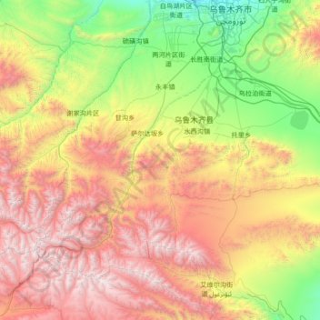
Name: 乌鲁木齐县 topographic map, elevation, terrain.
Location: 乌鲁木齐县, Urumtschi, Xinjiang, 830000, China (43.02136 86.79397 43.74002 88.12733)
Average elevation: 2,139 m
Minimum elevation: 751 m
Maximum elevation: 4,436 m
Other topographic maps
Click on a map to view its topography, its elevation and its terrain.