
Oberense topographic map
Interactive map
Click on the map to display elevation.
About this map
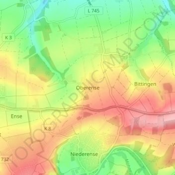
Name: Oberense topographic map, elevation, terrain.
Location: Oberense, Kreis Soest, Nordrhein-Westfalen, 59469, Deutschland (51.48857 7.97842 51.52857 8.01842)
Average elevation: 199 m
Minimum elevation: 136 m
Maximum elevation: 264 m