
Запрудье topographic map
Interactive map
Click on the map to display elevation.
About this map
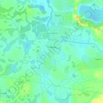
Name: Запрудье topographic map, elevation, terrain.
Average elevation: 160 m
Minimum elevation: 151 m
Maximum elevation: 178 m
Other topographic maps
Click on a map to view its topography, its elevation and its terrain.
Берёзовики
Беларусь > Витебская область > Глубокский район > Залесский сельский Совет
Берёзовики, Залесский сельский Совет, Глубокский район, Витебская область, Беларусь
Average elevation: 149 m