
Thank you for supporting this site ❤️
Make a donation
Make a donation
Heiken topographic map
Click on the map to display elevation.
Thank you for supporting this site ❤️
Make a donation
Make a donation
About this map
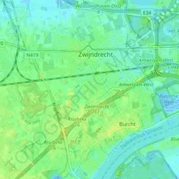
Name: Heiken topographic map, elevation, terrain.
Location: Heiken, Zwijndrecht, Antwerpen, Vlaanderen, 2070, België (51.19047 4.30823 51.23047 4.34823)
Average elevation: 6 m
Minimum elevation: -8 m
Maximum elevation: 13 m
Thank you for supporting this site ❤️
Make a donation
Make a donation