
Thank you for supporting this site ❤️
Make a donation
Make a donation
Gages Lake topographic map
Click on the map to display elevation.
Thank you for supporting this site ❤️
Make a donation
Make a donation
About this map
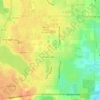
Name: Gages Lake topographic map, elevation, terrain.
Location: Gages Lake, Lake County, Illinois, 60031, United States (42.33926 -88.00460 42.36825 -87.96356)
Average elevation: 236 m
Minimum elevation: 212 m
Maximum elevation: 250 m
Thank you for supporting this site ❤️
Make a donation
Make a donation