
Coro topographic map
Interactive map
Click on the map to display elevation.
About this map
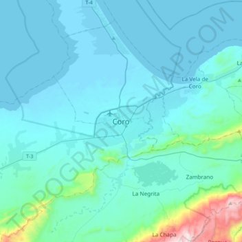
Name: Coro topographic map, elevation, terrain.
Location: Coro, Municipio Miranda, Falcón, Venezuela (11.24558 -69.82791 11.56558 -69.50791)
Average elevation: 113 m
Minimum elevation: -2 m
Maximum elevation: 1,223 m