
Thank you for supporting this site ❤️
Make a donation
Make a donation
Avelelas topographic map
Click on the map to display elevation.
Thank you for supporting this site ❤️
Make a donation
Make a donation
About this map
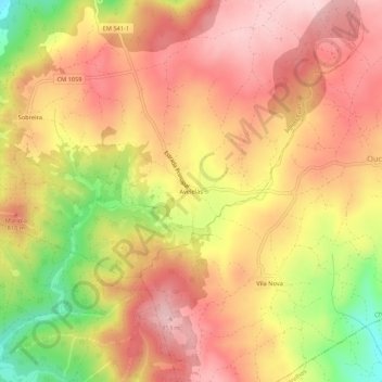
Name: Avelelas topographic map, elevation, terrain.
Location: Avelelas, Águas Frias, Chaves, Vila Real, 5400-603, Portugal (41.71858 -7.38543 41.75858 -7.34543)
Average elevation: 767 m
Minimum elevation: 614 m
Maximum elevation: 860 m
Thank you for supporting this site ❤️
Make a donation
Make a donation