
Thank you for supporting this site ❤️
Make a donation
Make a donation
Cahorday topographic map
Click on the map to display elevation.
Thank you for supporting this site ❤️
Make a donation
Make a donation
About this map
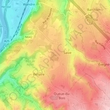
Name: Cahorday topographic map, elevation, terrain.
Location: Cahorday, Saive, Blegny, Luik, Wallonië, 4670, België (50.63174 5.65488 50.67174 5.69488)
Average elevation: 169 m
Minimum elevation: 54 m
Maximum elevation: 260 m
Thank you for supporting this site ❤️
Make a donation
Make a donation