
Thank you for supporting this site ❤️
Make a donation
Make a donation
Pakaur topographic map
Click on the map to display elevation.
Thank you for supporting this site ❤️
Make a donation
Make a donation
About this map
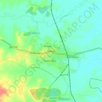
Name: Pakaur topographic map, elevation, terrain.
Location: Pakaur, Pakur District, Jharkhand, 816107, India (24.59928 87.80237 24.67928 87.88237)
Average elevation: 34 m
Minimum elevation: 19 m
Maximum elevation: 77 m
Thank you for supporting this site ❤️
Make a donation
Make a donation