Geolocate

Chantepie topographic map

Interactive map

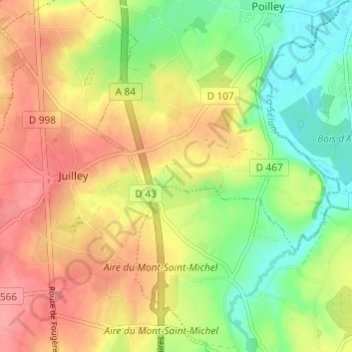
Click on the map to display elevation.

About this map

Name: Chantepie topographic map, elevation, terrain.

Location: Chantepie, Poilley, Avranches, Manche, Normandie, France métropolitaine, 50220, France (48.57906 -1.34576 48.61906 -1.30576)

Average elevation: 47 m

Minimum elevation: 7 m

Maximum elevation: 85 m

Other topographic maps

Click on a map to view its topography, its elevation and its terrain.

La Faucherie

France > Normandie > Manche > Poilley

La Faucherie, Poilley, Avranches, Manche, Normandie, France métropolitaine, 50220, France

Average elevation: 32 m

Rozel

France > Normandie > Manche > Poilley

Rozel, Poilley, Avranches, Manche, Normandie, France métropolitaine, 50220, France

Average elevation: 28 m

Le Noyer

France > Normandie > Manche > Poilley > Le Noyer

Le Noyer, Poilley, Avranches, Manche, Normandie, France métropolitaine, 50220, France

Average elevation: 28 m