
怀德镇 topographic map
Interactive map
Click on the map to display elevation.
About this map
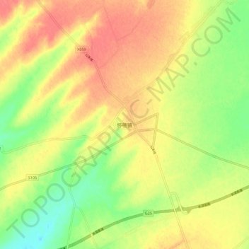
Name: 怀德镇 topographic map, elevation, terrain.
Location: 怀德镇, 长春市, 吉林省, 130000, 中国 (43.84269 124.72888 43.92269 124.80888)
Average elevation: 212 m
Minimum elevation: 181 m
Maximum elevation: 236 m