
Hayfield topographic map
Interactive map
Click on the map to display elevation.
About this map
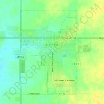
Name: Hayfield topographic map, elevation, terrain.
Location: Hayfield, Dodge County, Minnesota, Estados Unidos (43.87787 -92.85925 43.89957 -92.83408)
Average elevation: 404 m
Minimum elevation: 392 m
Maximum elevation: 415 m