
Lede topographic map
Interactive map
Click on the map to display elevation.
About this map
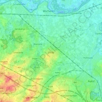
Name: Lede topographic map, elevation, terrain.
Location: Lede, East Flanders, Flanders, 9340, Belgium (50.94755 3.86754 50.98717 4.02404)
Average elevation: 17 m
Minimum elevation: -2 m
Maximum elevation: 64 m