
Kaltenbronn topographic map
Interactive map
Click on the map to display elevation.
About this map
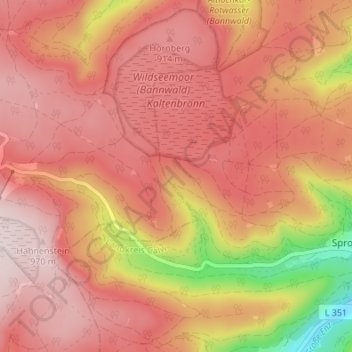
Name: Kaltenbronn topographic map, elevation, terrain.
Average elevation: 838 m
Minimum elevation: 549 m
Maximum elevation: 976 m
Other topographic maps
Click on a map to view its topography, its elevation and its terrain.
Kaltenbronn
Deutschland > Baden-Württemberg > Landkreis Rastatt > Gernsbach > Kaltenbronn
Kaltenbronn, Reichental, Gernsbach, Vereinbarte Verwaltungsgemeinschaft Gernsbach, Landkreis Rastatt, Baden-Württemberg, 76593, Deutschland
Average elevation: 881 m