
Santa Beatriz topographic map
Interactive map
Click on the map to display elevation.
About this map
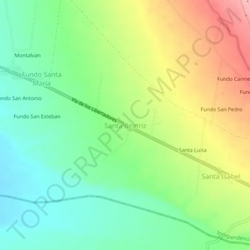
Name: Santa Beatriz topographic map, elevation, terrain.
Location: Santa Beatriz, Pisco, Ica, Perú (-13.72309 -76.01916 -13.68309 -75.97916)
Average elevation: 258 m
Minimum elevation: 203 m
Maximum elevation: 343 m