
杨贵村 topographic map
Interactive map
Click on the map to display elevation.
About this map
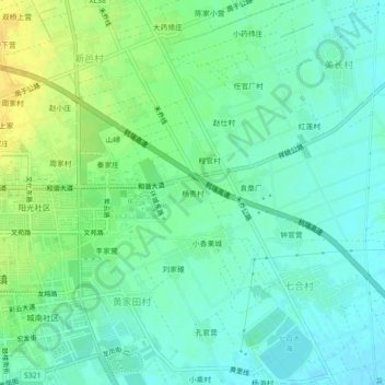
Name: 杨贵村 topographic map, elevation, terrain.
Location: 杨贵村, 祥城镇, 祥云县, 大理白族自治州, 云南省, 中国 (25.46635 100.55838 25.50635 100.59838)
Average elevation: 1,991 m
Minimum elevation: 1,981 m
Maximum elevation: 2,007 m